

Geography
Interested in graduate studies?
Explore our thesis and course-based graduate programs and certificate.

Thesis graduate programs
We offer students the opportunity to undertake thesis-based graduate studies leading to MA, MSc and PhD degrees. We also offer international students the opportunity to come to our department as Visiting Students.

MGIS Program
The Master of Geographic Information Systems (MGIS) is an advanced course-based program with an independent research component renowned for its successful development of GIS professionals and academics.

Certificate in Geospatial Information Technology
Get a career edge – learn how to integrate geospatial technologies in your work and your future career.
News and Announcements

Power in numbers, equality in education
More than a century into their mission, the changemakers behind the Calgary chapter of the Canadian Federation of University Women are still making history
Transdisciplinary exhibit highlights water expertise across fields
BRACKISH brings together students, faculty and UCalgary community members March 6-14
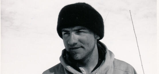
In Memoriam: Mario Giovinetto, Faculty of Arts
Former head of Department of Geography and Antarctic researcher; campus flag lowered Feb. 6, 2024
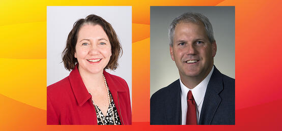
Appointments - Office of the Dean
The Faculty of Arts announces interim Associate Dean, Research roles
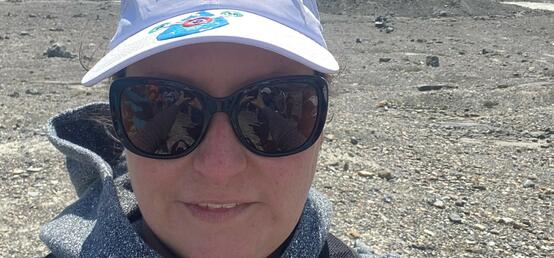
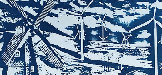
Parts of Alberta and Africa face longer, more severe droughts
Arts prof Tricia Stadnyk uses new climate models to predict dry areas that are getting drier
Happy Holidays from the Faculty of Arts
Undergraduate student designs the faculty’s 2023 holiday card
In the Media

In the News Byron Miller, Geography, in The Calgary Herald
Look ahead: Shaping Calgary's growth into 2024
In the News Tricia Stadnyk, Geography, in CTV News
Alberta is already preparing for a possible drought this spring
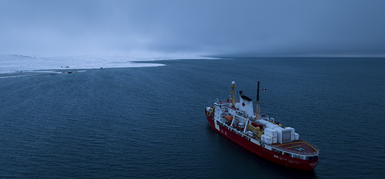
In the News arch magazine
When Your Science Lab is a 6,000-tonne Icebreaker
In the News Ryan Burns, Geography, in The Conversation
Why Canada’s Smart Cities Challenge is missing the mark
In the News William Holden, Geography, in Al Jazeera English Online
10 years after Haiyan, are mangroves protecting Philippine coastal areas?
In the News Tricia Stadnyk, Geography, in CityNews
Experts say talk on water conservation in Alberta should happen sooner rather than later

Launch Your Career Conference
Participate in focused career conversations, skills development and exciting connections. Hear from local leaders and industry experts, grow your professional network and get the information you need to make your next big move.
April 29 - 30
9:15 a.m. - 4:30 p.m.
Hunter Commons and Online

